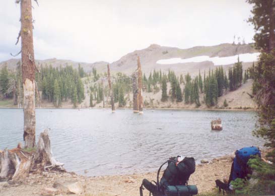
As we walked toward the lake, Justin started staring at an old campfire pit. He said it looked familiar... Then he remembered: he'd been to Lost Lakes a few years back with his father-in-law, and had backed his 4Runner right over that exact campfire pit. Funny what you remember...
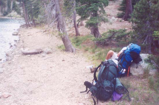
We sauntered over to the shore and sat down for some snacks and rest.
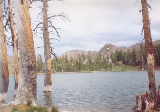
Aside from the occasional car passing by, Lost Lakes were quite beautiful.
Since the storm seemed to be staying where it was to the East (and almost seemed to be calming down), and we weren't too tired yet, we decided to push on...
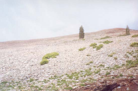
The trail soon left the trees again, and we found ourselves in a big scree field that almost looked like a quarry.
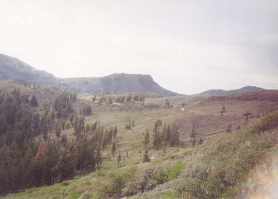
We eventually found ourselves paralleling the Blue Lakes Road as it wound up toward the entrance to Mokelumne Wilderness. We also caught our first sight of "Elephant's Back" (the long, flat mountain on the left-center of the picture).
The trail was pretty flat as it headed toward the boundary of the Wilderness...
| Previous | PCT Index | Next |