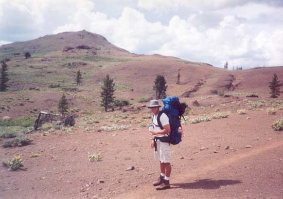
The trail soon left the trees and emerged onto the open, barren Southern slopes of The Nipple. By the way, it really does look like a nipple when you see it in person. What's even worse is there's a second, smaller peak next to it that also looks like a nipple. You can imagine the jokes on the climb up...
As we climbed further upward, a storm was forming to the East...
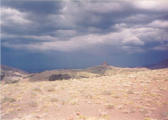
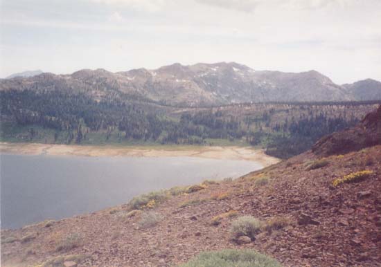
Not too thrilled at the prospect of being stuck in the middle of a lightning storm (for the second year in a row, I might add) out in the open on the side of a peak, we tried to push forward quickly. We soon started to traverse across the Southern slope and over to the Western slope. Lower Blue Lake popped into view.
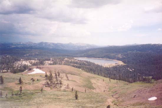
As we reached the top of the climb, we also got a good look at Upper Blue Lake, far below us.
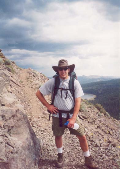
On the Western side of The Nipple, the trail became very narrow, slippery, and began to descend. It was a bit disconcerting with the high winds, but we managed to stay on the trail. (You can see Lower Blue Lake - where we'd stopped the previous year - in the background.)
Hoping to drop to a lower elevation (and the cover of trees) before the lightning hit, we continued moving quickly down the Northwest side of The Nipple...
| Previous | PCT Index | Next |