
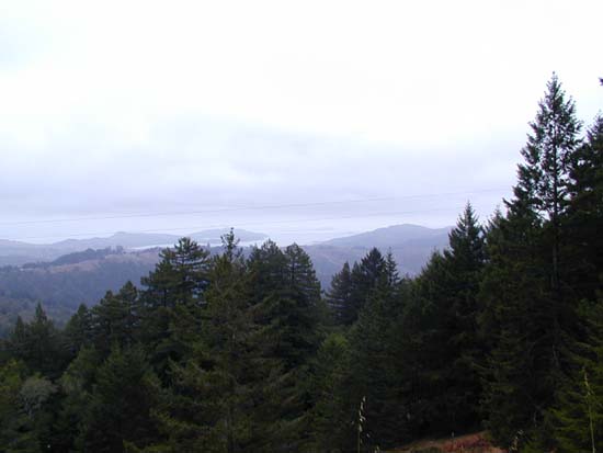
Looking down toward Muir Beach from Old Stage Road trail (really a big, wide, occasionally paved fire road). Muir Woods is in the valley in the foreground of the picture, and the road to Pantoll can be seen in the bottom of the picture.
View of the San Francisco Bay from Old Stage Road trail.
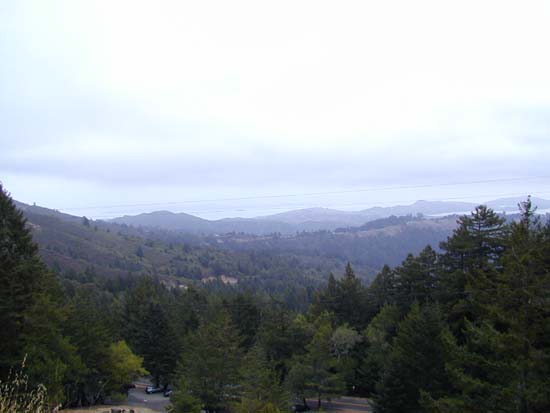
Another view of the San Francisco Bay from Old Stage Road. You can see the Bootjack picnic area in the foreground.
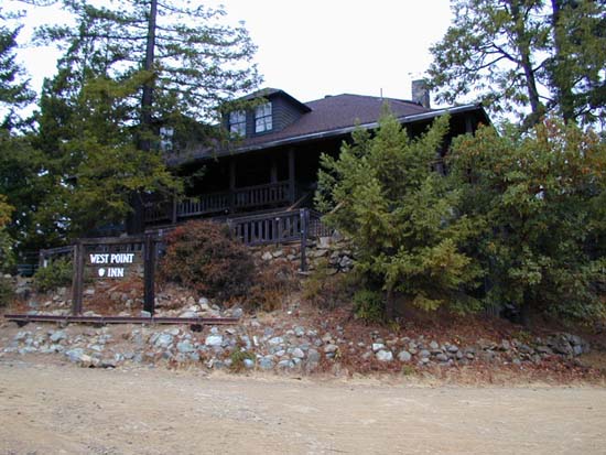
The West Point Inn, at the intersection of Old Stage Road and Old Railroad Grade trails. You can grab some food or supplies, play some horseshoes, or even get a room.
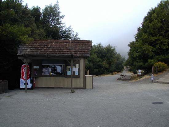
The snack bar on the East Peak (you can drive to this point), at the start of the trail up to the peak.
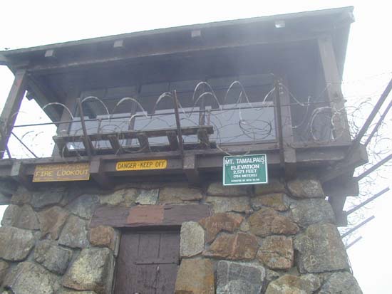
Gardner Fire Lookout, at the top of the East Peak of Mt. Tam, elevation 2,571 feet. At this point, I had climbed roughly 2,571 feet, and hiked about 6.7 miles, the last several of which were really boring fire road because Old Railroad Grade is about the only trail to the summit. It had only taken me 2 hours 40 minutes to reach the peak.
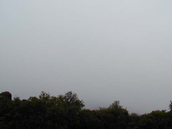
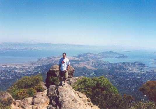
The thrilling view from the East Peak... trust me, when there's no fog/clouds it's awesome. Here's a picture from the peak when the weather was nice (when I drove up to the peak with Norvina).