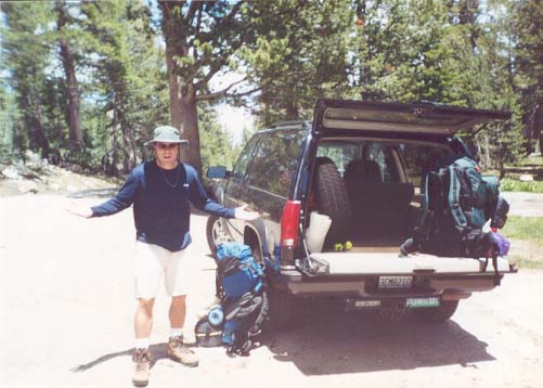
Of course, no sooner had we stepped out of the car than the mosquitoes that Scott had promised us "wouldn't be that bad at that elevation" were attacking us. I tried to take a leak and within about 10 seconds I had a good 20 mosquitoes on each leg and arm (that's 80 total for you math majors). Justin was somewhat flustered that the repellant didn't seem to work.
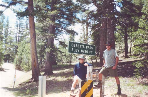
The next problem was we couldn't find the trailhead. We found several potential trails, but none that was obvious. We finally decided on the one with the post with the missing marker, threw our packs on, and posed for one last picture before venturing out into the unknown.
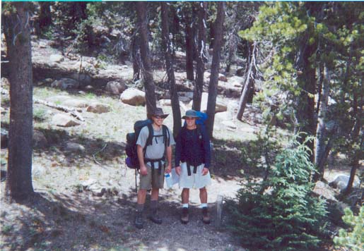
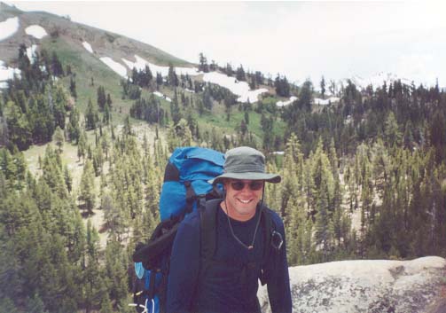
Amazingly, we managed to pick the right trail. It turned out the other trail we thought to be a strong possibility merged with the real PCT in about 50 feet. After the short, steep climb up to Ebbett's Peak, we were already tired. We took one last look at the road and the surrounding scenery.
Now on with the hike...
| Previous | PCT Index | Next |