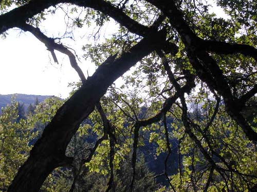
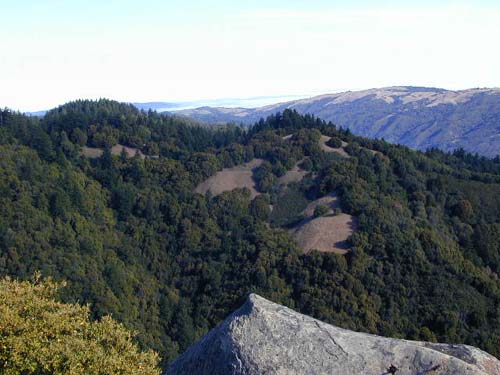
Looking through the trees on Skyline Trail
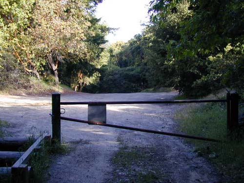
Just shy of 1.4 miles from the trailhead, the trail emerges briefly onto the shoulder of Highway 35. Loughry Woods trail splits off the the right (West) across the highway, but I continued South along the shoulder for a short distance and picked up Skyline Trail again just across somebody's driveway, as it headed back into the trees. In another 0.1 miles or so, the trail emerges into the (dirt) Summit Rock parking area of Sanborn County Park.
I continued South on Skyline Trail, which had now turned into a fire road. Although I'm normally not too big on fire roads, this one was an exception, as it was covered with soft dirt and leaves, and offered spectacular scenery. I think the fact that it was in the trees also helped. Anyway, the road climbed slightly for another 0.5 miles or so, and then came to a 4-way junction. Skyline Trail continued to the right, and Summit Rock Loop Trail continued straight ahead (by the way, Summit Rock Loop Trail does not go by Summit Rock nor start by Summit Rock as shown on the map!). I chose to take a side trip to the left (NorthEast) on Summit Rock Trail to see what the rock was all about.
The trail emerged quickly into the open and then began climbing, slowly at first, for about 0.25 miles. The last few hundred feet climbed steeply uphill to Summit Rock.
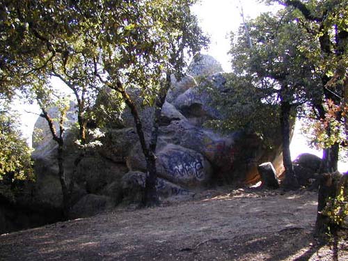
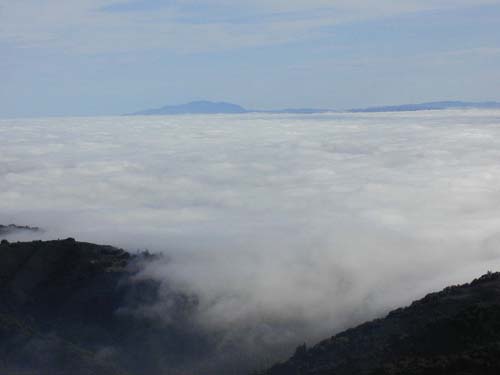
I clambered up on top of Summit Rock (probably not recommended by the park since it's a bit steep and slick) and checked out the views. Although the Santa Clara Valley was still shrouded in fog/clouds this early in the morning, the views were awesome.
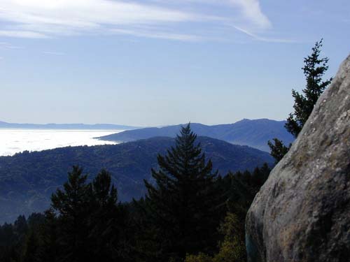
After admiring the views, I slid my way back down to the ground and followed the trail the 0.25 miles back to the 4-way junction, then continued straight (SouthWest) on Skyline Trail toward Castle Rock State Park.
| Skyline/Castle Rock Loop | Next |
| webmaster@muddybike.com | South Bay Hikes | Copyright © 2002 Kevin Sage |