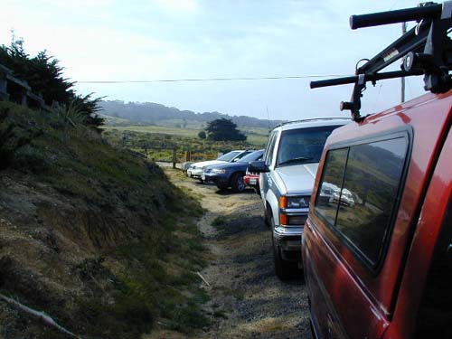
The trailhead parking area, looking South.
Starting from the trailhead, I took the Gray Whale Cove Trail (the singletrack just to the left of the fire road). The trail follows the road for a little while before heading North uphill. As the trail reached the top of a small ridge, I began to get a good view of the Pacific Ocean to the West. Looking up to the East, I could see the peak of Montara Mountain looming above me.
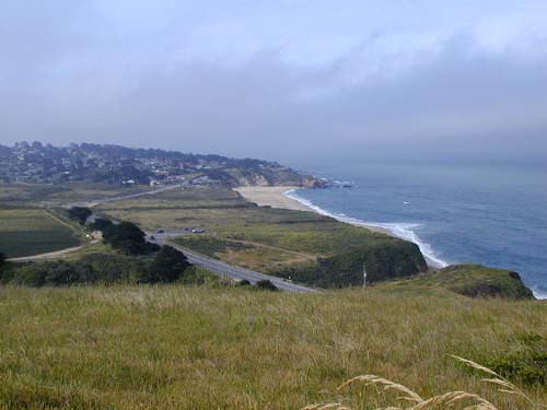
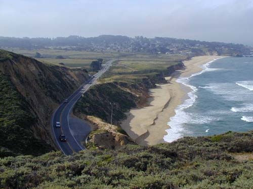
As the trail continued along the ridge, I came to an unmarked junction. The trail that took off to the right looked like it was an unofficial trail, so I continued on straight. Naturally, I chose wrong... The trail I followed followed the contour of the ridge to a bench on an overlook just above Highway 1, providing good views of the highway, ocean, and Montara State Beach.
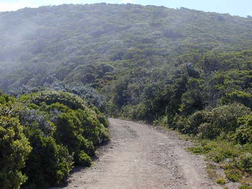
After I realized that I was headed the wrong way, I backtracked to the junction and took the other split. The trail descended briefly to the main, paved fire road (Old San Pedro Mountain Road). This trail climbs steadily up the side of the mountain. Although there are no flat sections, the trail is extremly well graded, so it's not too tiring. After around 2 miles, the road splits, with the pavement continuing to the left, and a dirt road continuing uphill to the right. I took the dirt road (Montara Mountain Road) as it began climbing very quickly. As I gained altitude, I found myself walking through the fog.
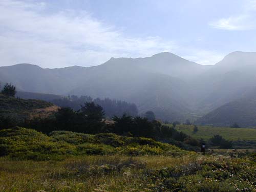
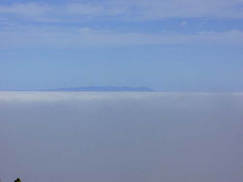
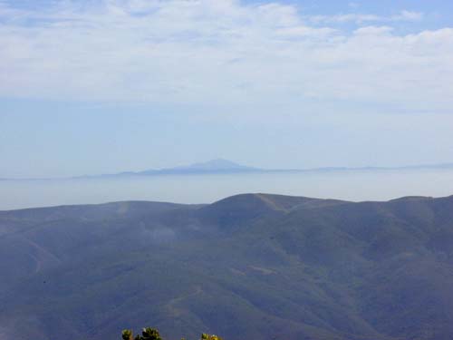
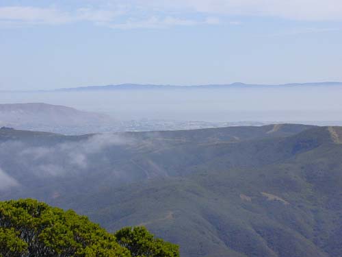
Gaining more elevation, I began to have good views of the surrounding area.
| Montara Mountain Summit | Next |
| webmaster@muddybike.com | Peninsula Hikes | Copyright © 2002 Kevin Sage |