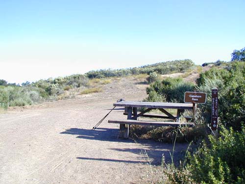
Capehorn Pass
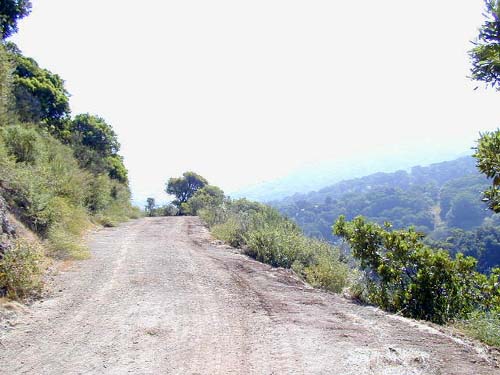
After taking a short break to remove my pant legs (I love convertible pants!), I continued straight ahead on Randol Trail. After about half a mile, I passed Day Tunnel (an old mine), but it was closed up and I couldn't even see where it had been. Disappointed, I continued on Randol. Unfortunately, Randol is a boring-ass, flat fire road that just goes on and on and on... The good thing is you get good views of the Santa Clara valley, but other than that this trail can really test your patience. I felt like I was never going to get anywhere interesting, and wished I was on my bike so it would go by quickly...
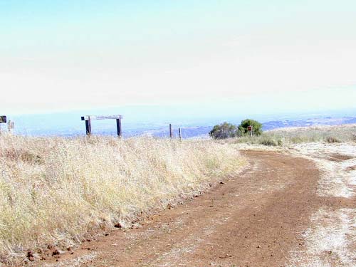
After another 0.6 miles from Day Tunnel, I reached an intersection. Randol Trail continued downhill to the right, while straight ahead was Santa Isabel Trail. Both trails merge again in about half a mile, but Randol is longer and steeper. I chose to go straight on Santa Isabel. After 0.4 miles, I merged back in with Randol, and then continued on Randol for another boring 1.2 miles. Finally, I reached the junction with Prospect #3 Trail.
If I'd blinked, I would have missed Prospect #3 Trail...It didn't even look like a trail. It looked like a deer trail or something...really overgrown. Since it was at least a singletrack instead of fire road, I headed up the trail (SouthWest). The trail was massively overgrown, and fearing for a poison oak infection, I put my pant legs back on and even put my jacket on. Although the map says this trail is "steep", it's really not, except for a few really short sections.
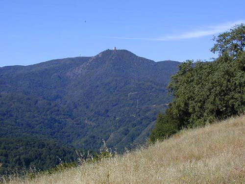
After 0.5 miles, I emerged onto another fire road, Mine Hill Road (again). Looking up, I had a good view of Mt. Umunhum to the SouthWest.
Now back on Mine Hill Road Trail, I headed SouthEast (still uphill) for another 0.8 miles to Bull Run, a small saddle at the intersection of Mine Hill and Castillero Trails. To my surprise, the Mine Hill Road Trail was closed to through traffic heading downhill to the left, so I continued straight on what was now Castillero Trail. Castillero continued climbing a bit and then started dropping slowly to Mine Hill (which is not where it's shown on the map!), 0.6 miles from Bull Run.
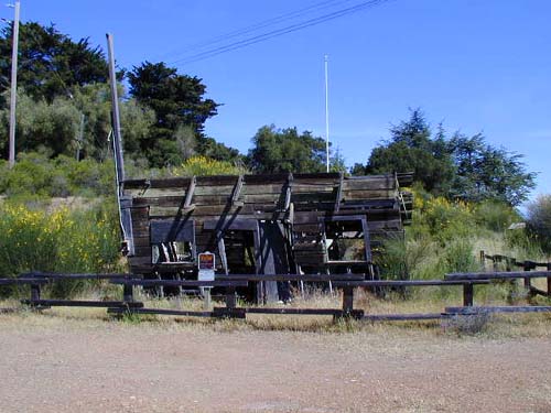
I then headed South on Wood trail for about 0.1 miles, and then took the Yellow Kid Tunnel Trail (a singletrack!) to the NorthEast. Again, the mine is closed up, but there are some nice informative signs with pictures of what it used to look like. This trail contours around the mountain for 0.3 miles before emerging onto English Camp Road Trail.
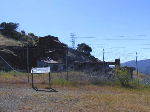
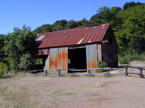
English Camp Road Trail drops another 0.37 miles to the South to the old townsite of English Camp. A few building are still standing, and again there are some nice signs explaining the old town.
After leaving English Camp, the trail dropped steeply for 0.9 miles (following the power lines) until it emerged back onto Mine Hill Road Trail. I think I saw my cousin-in-law here, but he went by quickly on his bike so I couldn't really tell... Anyway, I then took Mine Hill Road Trail downhill for another 0.4 miles back to the trailhead, completing a 7.82 mile loop.
| Almaden Quicksilver County Park |
| webmaster@muddybike.com | South Bay Hikes | Copyright © 2002 Kevin Sage |